
Mount Pleasant ZIP Coverage
Official sources do not publish one static parcel-by-parcel ZIP map for the Village of Mount Pleasant, Racine County. The Wisconsin DHS ZIP and city table does confirm several Racine-area rows where Mount Pleasant or Mt Pleasant is an acceptable city name. The Village's 2025 resolution says properties in and around Mount Pleasant involve at least five ZIP areas. That packet also records the Village's request for a unique ZIP aligned with its boundary. Until postal and municipal lines match, every address needs two checks.
| ZIP Code | Areas Covered | Post Office | Notes |
|---|---|---|---|
| 53403 | Racine-area postal geography | Racine presentation | Test Mount Pleasant acceptance by address |
| 53404 | Racine; Mount Pleasant and Mt Pleasant accepted | Racine | Static table does not prove parcel-level Village coverage |
| 53405 | Racine; Elmwood Park and Mount Pleasant entries | Racine | Postal and municipal concepts cross |
| 53406 | Mount Pleasant and Mt Pleasant accepted | Racine or Mount Pleasant context | Used for the official Village Hall address |
| 53408 | Racine-area classification | Racine | Village street-delivery coverage not established |
| 53177 | Sturtevant border context | Sturtevant | Not automatically a Village address |
| 53126 | Franksville border context | Franksville | Not automatically a Village address |
The ZIP code directory therefore distinguishes confirmed city-name acceptance from claims the available sources do not support. For live postal routing, USPS By Address supplies the postal answer. Racine County or Village GIS supplies the legal municipality. Neither one names every person at a property.
Why Mount Pleasant Says Racine
A preferred postal city is part of mail delivery. It is not a legal boundary ruling. USPS may standardize a Village address with Racine, while the Wisconsin table also accepts Mount Pleasant or Mt Pleasant for the relevant row. County parcels, tax keys, and the mapped municipal boundary answer the jurisdiction question. This matters along a community framed by Lake Michigan to the east, Caledonia to the north, Yorkville to the west, and Somers or Kenosha County to the south.
The mismatch is the central local quirk. A ZIP code directory can narrow a search, but a postal label cannot decide whether the Village, City of Racine, Sturtevant, or another nearby body keeps the local record. Preserve both fields in notes: “postal city” from USPS and “legal municipality” from GIS.
Mount Pleasant Postal Search Fields
The USPS ZIP Code Lookup offers By Address, By City and State, and Cities by ZIP modes. The first mode is the sound choice for one property. It returns standardized postal facts, including a recognized or preferred city and ZIP+4 when available. The result validates routing. It does not establish that a person or firm is present.
| Field | Kind | Need | Format note |
|---|---|---|---|
| Company | Text | Optional | Use only when relevant to delivery |
| Street | Text | Required by address | Keep number, direction, name and suffix |
| Apartment or suite | Text | As needed | Unit-level postal detail |
| City and state | Text/select | Required | Wisconsin; try recognized city form |
| ZIP | Text | Optional by address | Required in Cities by ZIP mode |
Save the submitted version as well as the standardized result. That comparison can explain why an old directory, tax roll, or form uses a different city line.
Search Mount Pleasant by ZIP
A ZIP code narrows geography, not identity. MyVote's address route includes a ZIP field, but it is designed for a voter to find and confirm the appropriate record. The Village and county GIS tools work from an address or parcel and show municipal boundaries, tax keys, and map layers. AssessorData connects an address or tax key with the local parcel card. No reviewed official source supplies a public, complete list of all current residents in one Mount Pleasant ZIP.
- Run USPS By Address. Record the standardized street, preferred or accepted postal city, ZIP, and ZIP+4 if shown.
- Open Racine County or Village GIS. Select the parcel and confirm the legal municipality, tax key, road, and nearby boundary.
- Compare the parcel in AssessorData or the county tax inquiry. Keep the situs address apart from any published mailing address.
- Use MyVote only within its public search and user-confirmation rules. Never treat a ZIP-wide voter file as a general resident roster.
Once the postal area is known, the Mount Pleasant directory by street handles the more exact address and parcel sequence. That handoff prevents the ZIP code directory from making street-level claims that the postal data cannot support.
Mount Pleasant GIS Boundary Check
Racine County GIS is the bridge between a postal result and a legal parcel. Select the property and record its tax key, legal description, subdivision, lot, block, road, and municipal boundary. Village GIS also includes tax parcels, zoning, municipal limits, and imagery. Map lines remain approximate. A deed or survey controls questions that require recorded rights.
The Racine County GIS viewer gives the county-scale parcel context used after a ZIP search.
Use the selected parcel and tax key, not the visual position alone, to document the municipal match.
The Village of Mount Pleasant GIS supplies a second official municipal view.
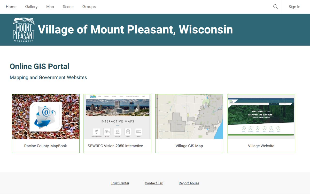
Compare both dynamic viewers when an address sits near Racine, Caledonia, Yorkville, Sturtevant, or the southern county edge.
Mount Pleasant ZIP Parcel Check
The Village Assessor and AssessorData add the parcel facts that postal data lacks. A current card may show the situs address, mailing field, owner association, tax key, assessment values, and building or sale data. New addresses after January 1 may not appear until values are final. If a search fails, use the tax key or select the parcel in GIS first.
The captured AssessorData landing screen confirms the official search route used after postal normalization.
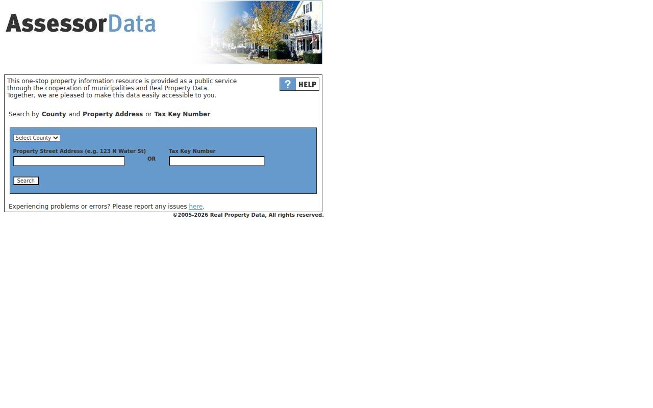
A tax card is not a deed, and a deed is not proof that a named person lives there. Keep those limits with every saved result.
Mount Pleasant's Five-ZIP Issue
The Village's 2025 resolution packet says at least five ZIP codes affect Mount Pleasant and nearby municipal properties. It also describes the request for a unique ZIP that would match the municipal border. That is a timely policy record, not proof that a new code has taken effect. Check the Village packet and live USPS results before repeating its status.
A single aligned ZIP could make municipal identity clearer, but current research must work with the system now in use. Record the date of each postal lookup. Assessment records, GIS layers, and postal interfaces can all change, so a saved ZIP result should never be treated as permanent.
Postal limit. A Racine mailing label does not place a parcel in the City of Racine, and a Mount Pleasant label does not by itself prove Village jurisdiction.
Historic Mount Pleasant Postal Names
Older resident research needs more than today's ZIP code. Before the Village incorporated in September 2003, sources may index the place as the town of Mount Pleasant, a township or section, Racine County, a farm, or the relevant post office. The area's rural past also means a household may appear in a farmers' directory but not a city volume. UW-Parkside lists farmers' directories from 1897-98, 1919, and 1934, plus an 1873 plat exhibit.
Search Mount Pleasant, Mt Pleasant, Racine, the town form, and the post-office name. Add the surname, year, street spelling, section, or tax-key link. These are query variants, not evidence that every match identifies the same person. The ZIP code directory solves present-day postal scope; historical legal descriptions and dated maps carry older work.
Mount Pleasant ZIP Evidence Log
A short evidence log keeps the different authorities clear. For the postal side, record the exact USPS mode, submitted address, standardized address, preferred city, acceptable city when shown, ZIP, ZIP+4, and access date. For the parcel side, record the GIS viewer, legal municipality, county, full tax key, legal description, map layer, and access date. Add the AssessorData situs and mailing fields only when they appear. This format makes a later change easy to spot and prevents one screen from being cited for a fact it does not govern.
Negative results belong in the log too. Note whether the postal lookup rejected the address, the GIS failed to identify a parcel, or the assessor had not yet added a new address. Then try the tax key, a prior street spelling, the address without its suffix, or a nearby official map layer. A failed query does not prove the address is outside Mount Pleasant. It may reflect spelling, timing, portal design, or a boundary question that needs a clerk or assessor.
Note: Save postal and parcel results with dates because ZIP policy, assessment rolls, and dynamic map layers may change after publication.
Mount Pleasant ZIPs and Limits
The final test asks two separate questions. USPS answers how mail should be addressed. County or Village GIS answers which municipality contains the parcel. A ZIP code may cross legal borders, and a preferred city can differ from the municipality. This distinction decides whether to contact Mount Pleasant, Racine County, the City of Racine, or another nearby office for a local record.
- ZIP and ZIP+4
- A ZIP covers a broad delivery area. The extra four digits narrow mail sorting to a smaller segment.
- PO-box ZIP
- A code used for post-office boxes rather than ordinary street delivery.
- Unique ZIP
- A code assigned to one high-volume organization or institution.
- Carrier route
- A postal delivery path within a ZIP, not a municipal or parcel boundary.
For each result, keep the original address, standardized address, postal city, legal municipality, tax key, and lookup date. That compact record preserves what the Mount Pleasant ZIP code directory can prove and what still needs a custodian.